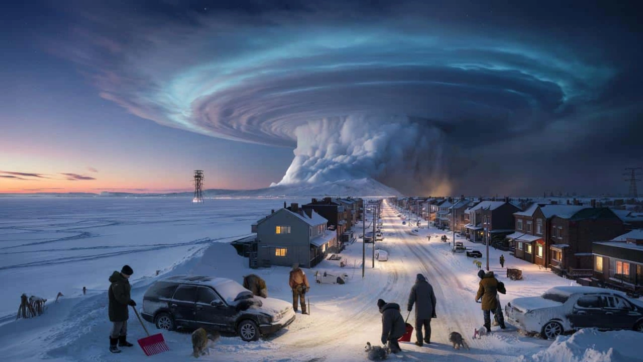
The polar vortex shift is making headlines again, and for good reason. If you are someone who follows winter weather closely or even just wonders why the temperatures suddenly plunge without warning, this is the event to watch. A major change is on the way in early February, and it all begins high up in the atmosphere where the polar vortex lives.
Meteorologists are now raising alerts as the polar vortex shift becomes more apparent in the latest model forecasts. This change is not just another winter cold snap. It is being driven by a larger process in the stratosphere that could dramatically reshape weather across North America and Europe for weeks. From deep freezes to unexpected snowstorms, this shift in the polar vortex could bring major disruptions well into February.
Polar Vortex Shift and What to Expect in Early February
A polar vortex shift refers to the disruption or breakdown of the strong wind system that usually keeps Arctic air confined to the polar regions. This system, which spins high above in the stratosphere, acts like a wall that contains the cold. But when this wall is weakened or broken apart due to sudden warming in the stratosphere, cold air escapes and spills into the mid-latitudes.
This upcoming shift is expected to bring extreme cold into the United States, particularly the central, eastern, and southeastern parts. Northern and central Europe may also feel the impact. According to recent model data, the stratosphere is rapidly warming, and this will likely split or collapse the polar vortex. When this happens, cold air that is usually trapped in the Arctic floods southward. In simple terms, if you have been waiting for true winter weather, it is on the way, and it could last for weeks.
Overview Table: Key Highlights of the Polar Vortex Shift
| Key Information | Details |
| Type of Event | Sudden Stratospheric Warming leading to a polar vortex shift |
| Expected Time Frame | Early February 2026 |
| Main Trigger | Rising stratospheric temperatures disrupting the polar circulation |
| Key Regions Affected | United States (Central, East, Southeast), Northern and Central Europe |
| Forecast Models Used | GFS, ECMWF |
| Impact on Temperatures | Much colder air flowing into mid-latitudes |
| Surface Weather Effects | Potential for snowstorms, freezing rain, and persistent cold |
| Wind Pattern Change | Reversal and weakening of polar vortex winds |
| Duration of Impact | Likely to last through February and possibly into early March |
| Confidence Level | High agreement across multiple forecast models |
Driving the Cold Flow: How the Polar Vortex Operates
The polar vortex is not just a buzzword. It is a real and powerful wind pattern that circles the Arctic during winter. Think of it as a spinning wall of cold air that helps trap freezing temperatures in the polar zone. When this system is strong, cold air stays put. But this year, we are seeing it weaken fast.
Currently, the vortex is being stretched and deformed by increasing stratospheric pressure. This disruption is allowing colder air to push southward into North America. In fact, satellite and model data show the vortex shifting directly over Canada and the northern United States, acting as a cold air highway. Once this flow is established, temperatures will likely drop sharply across a wide area, bringing true winter conditions.
Arctic Cold Air Moving into North America
Get ready for a deep chill. Forecasts for the next several days show Arctic air making its way into the central and eastern United States. States from the Midwest to the Southeast could see some of their coldest temperatures of the season. Even regions like Texas and parts of the South that usually escape deep winter may not be so lucky this time.
What is especially notable is how far-reaching this cold air will be. Unlike short cold snaps, this one looks set to stick around. The cold wave will be the result of a strong pressure anomaly in the stratosphere, which is pushing the core of the polar vortex southward. When this happens, the chances for winter storms and icy conditions go up dramatically.
Signs of a Complete Collapse in Early February
Weather models now show strong signs that the polar vortex is not just being disturbed—it might fully collapse. This would mean a complete breakdown in the usual circulation pattern, with high-pressure systems forming where cold air used to be locked in. When that cold air escapes, it heads south and causes extreme winter conditions.
One clear sign of this is a rapid rise in stratospheric temperatures. Forecast maps are already showing warming anomalies of over 50 degrees Celsius in some parts of the polar stratosphere. These are not normal shifts. This level of warming typically leads to a major breakdown in the vortex, creating two or more smaller systems instead of one large one. That split is what allows the frigid Arctic air to move into areas like the United States and Europe.
Sudden Stratospheric Warming and Polar Vortex Collapse
Sudden Stratospheric Warming, or SSW, is at the heart of the current polar vortex shift. It occurs when the polar stratosphere heats up rapidly over a short time, sometimes rising by more than 30 or 40 degrees Celsius in just a few days. This puts a huge strain on the polar vortex and often leads to a full collapse.
Current forecasts for early February show strong warming events happening at the 10mb level of the stratosphere, which is roughly 30 kilometers above the surface. High-pressure zones are forming and expanding, pushing directly against the polar vortex. As this happens, the vortex becomes unstable and starts to break apart. This is exactly what we are seeing in the latest ECMWF and GFS model runs.
What to Expect in February
Once the polar vortex collapses, the surface weather will begin to change. This does not happen overnight. There is usually a delay of about 10 to 14 days between the event in the stratosphere and the cold weather on the ground. That puts much of February in the danger zone for extended cold.
The early part of the month may see some temporary warming in the northern United States and southern Canada, but that will not last. By mid-February, model forecasts suggest a stable and deep corridor of cold air stretching from Canada down through the central and eastern U.S. Europe, especially the northern parts, could also see a return of Arctic air with increased chances of snow and freezing temperatures.
FAQs
What is a polar vortex shift?
A polar vortex shift happens when the strong Arctic wind pattern weakens or breaks, allowing cold air to move south into North America and Europe.
How does Sudden Stratospheric Warming affect winter weather?
SSW events heat the stratosphere, which disrupts the polar vortex and often leads to very cold weather in the mid-latitudes.
When will the cold air reach the surface?
Typically, surface impacts appear 10 to 14 days after the initial stratospheric warming, so mid-February is when the effects will be strongest.
Will Europe also experience colder temperatures?
Yes, especially northern and central Europe, which are likely to see colder conditions and possible snow events by mid-February.
How long could this cold spell last?
Based on model trends, the cold could persist through February and possibly into early March, especially in regions affected by the polar vortex shift.